ECU Field Station for Coastal Studies
at Mattamuskeet: History
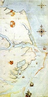
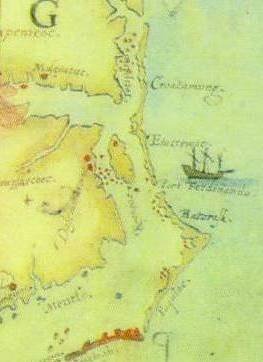
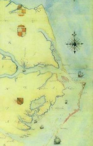
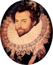
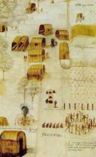
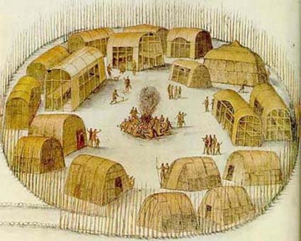
Algonquian Indians, of the Secotan chiefdom, lived in the Albemarle-Pamlico region and hunted, fished, foraged, and tended gardens. The first Europeans to explore the lake area (1585) were from Sir Walter Raleigh’s second
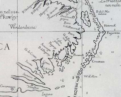
Deeds pertaining to the reservation lands also refer to the Indians and lake as “Arromuskeet.” Edward Moseley was one of the men who witnessed the land grant document. It is not clear how or when the name of the lake became Mattamuskeet, but a map drawn by Moseley in 1733 identified the lake as Mattamuskeet and showed the general location of the Mattamuskeet Indian reservation. Mattamuskeet is an Indian word thought by linguists to mean “dry dust” or “a moving swamp.” By 1761, the Mattamuskeet Indians had sold their reservation land to the colonists, assimilated into the white and black population of the region, or left the colony to join other Algonquian tribes. In the public records of
In the period between 1835 and 1865, it was common practice in


