
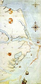
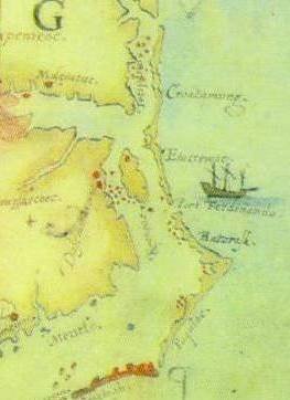
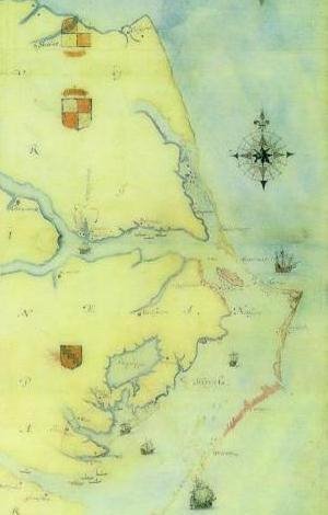
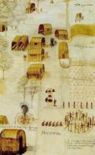
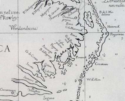
RALEIGH – From wagon routes to interstate highways, dating from the 1600s to the 1960s, maps that show where travelers were going in North Carolina are now online at www.lib.unc.edu/dc/ncmaps, the new North Carolina Maps web site. A collaboration among the North Carolina Department of Cultural Resources State Archives and its Outer Banks History Center with UNC-Chapel Hill, the North Carolina Maps website will be the most complete online collection of state maps in the United States.
“Historians, genealogists, students and teachers will find this a useful site,” says Druscie Simpson, head of the State Archives Information and Technology Branch. “North Carolina Maps contains county maps, city maps, and even maps of watercourses–rivers and lakes,” she explains.....


